
Simulazione · Minimal Logistik · Inland ports and industry
Dortmund · canal port and Westfalenhütte
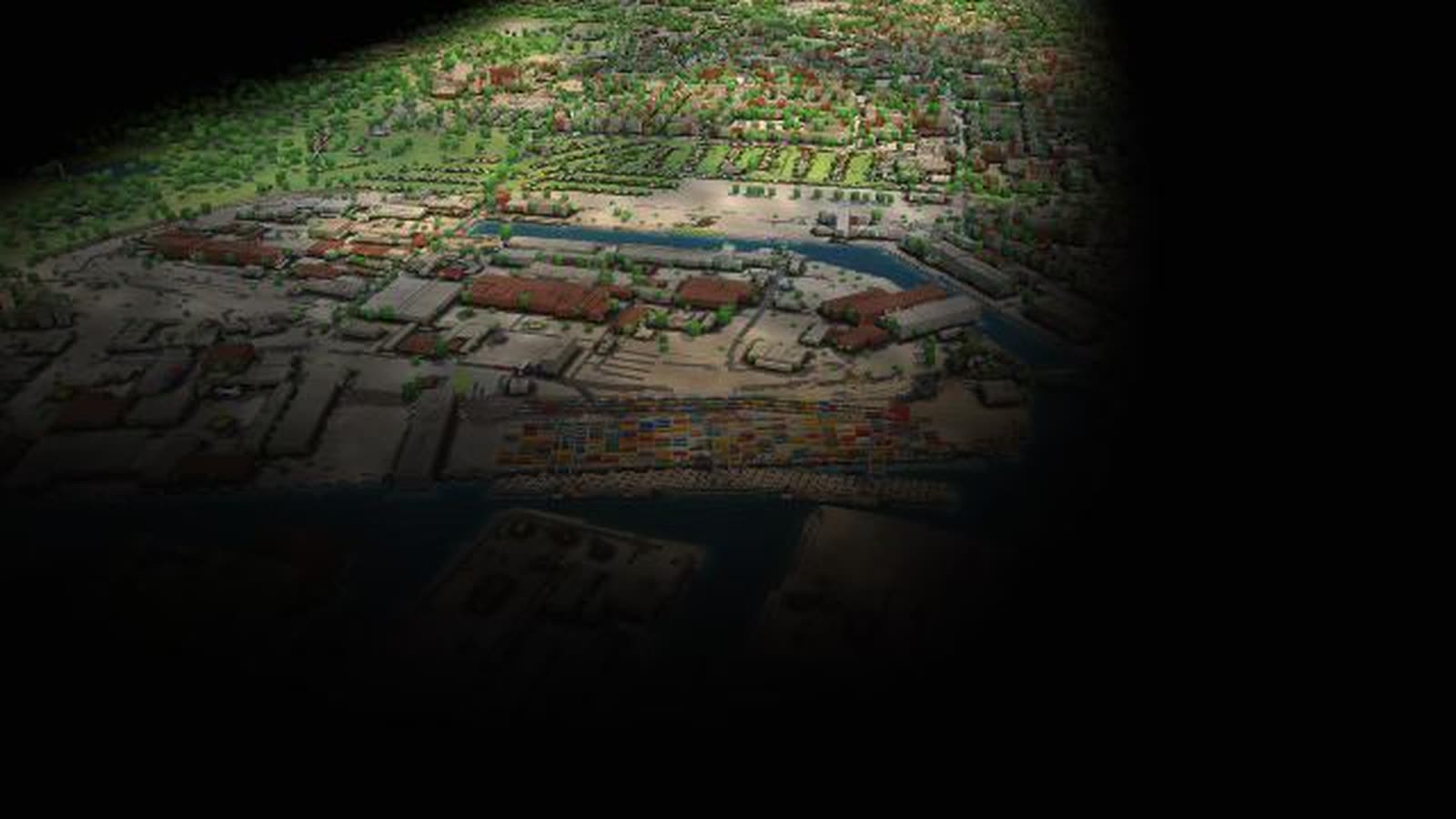
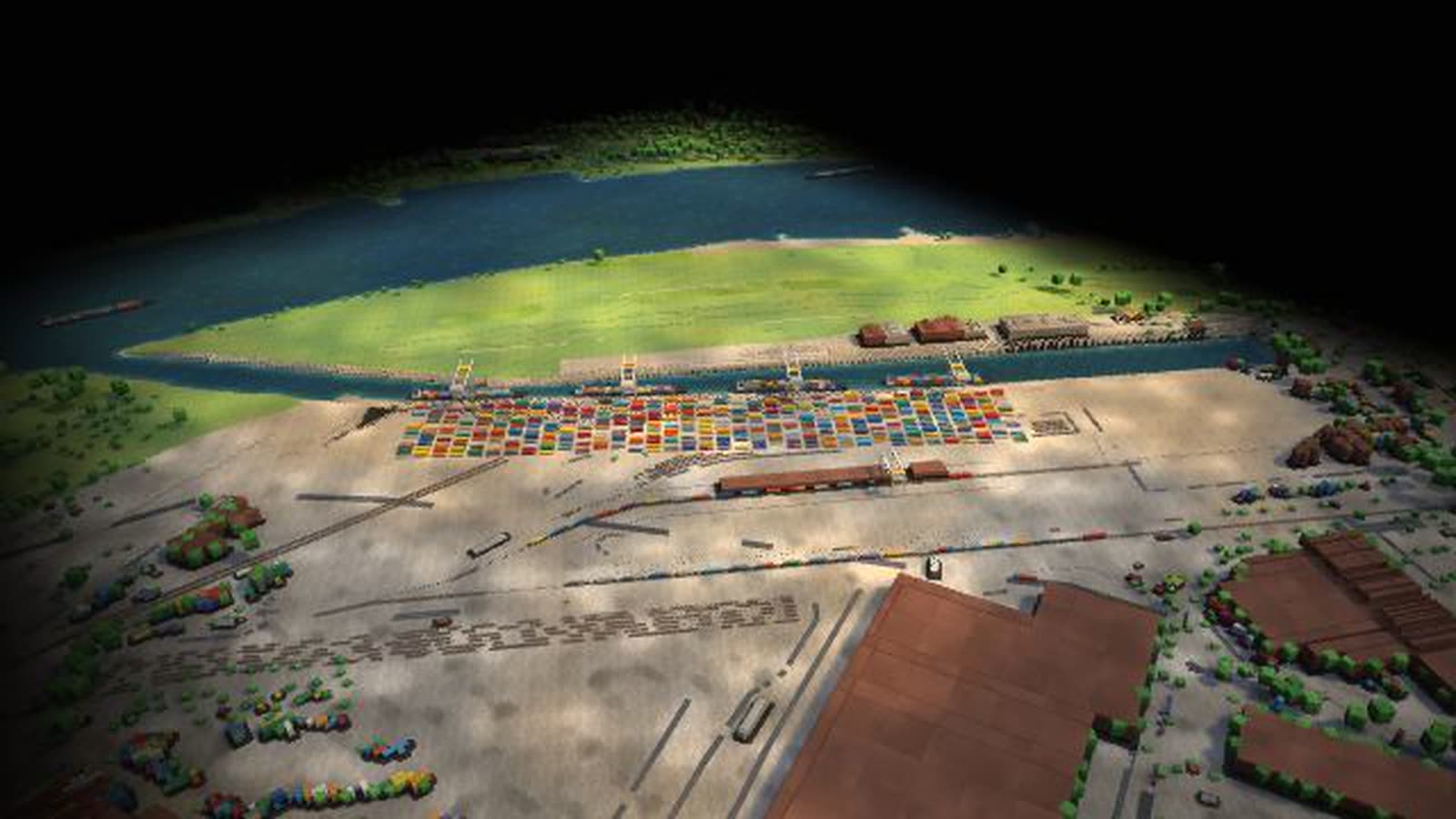
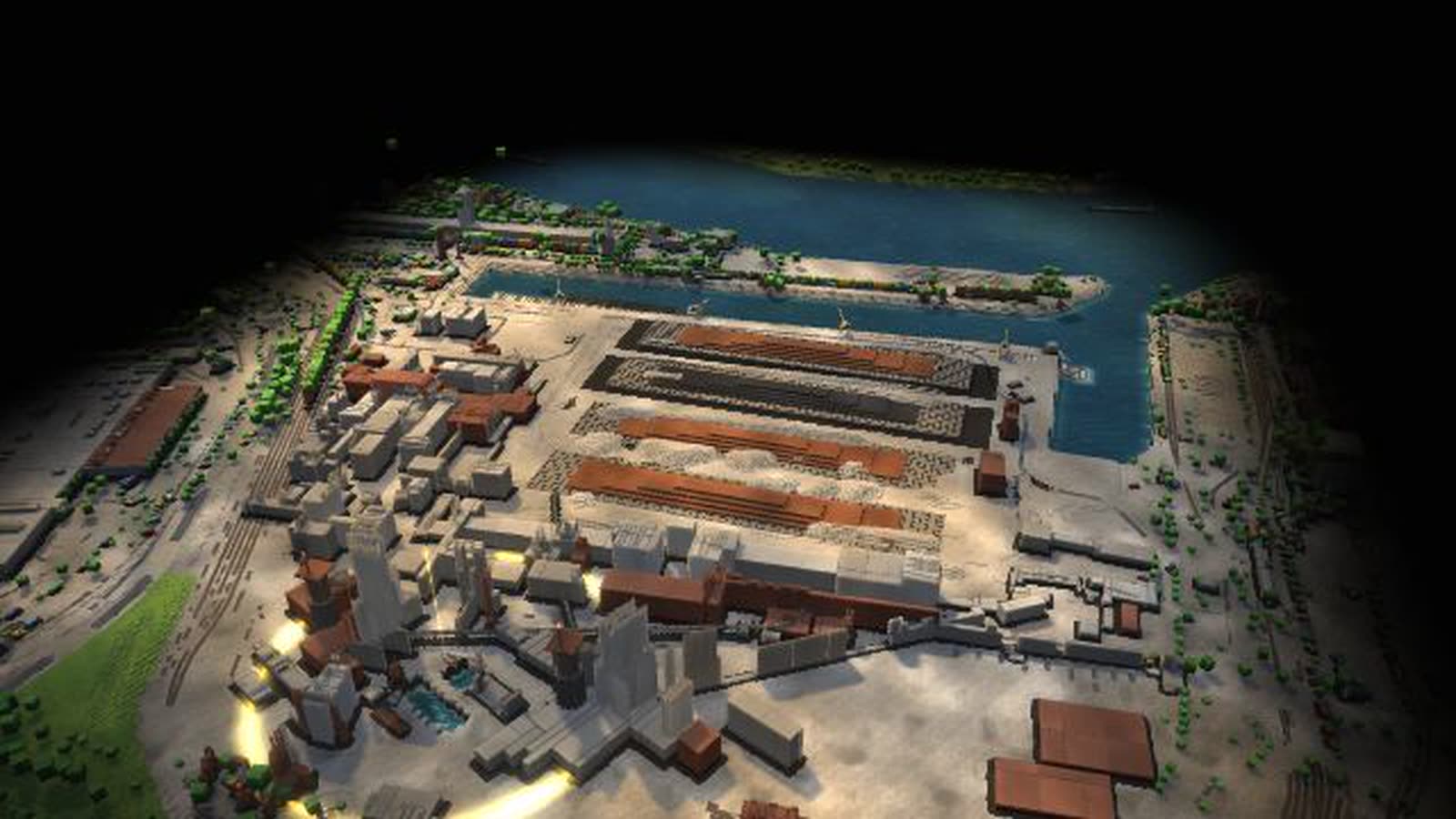
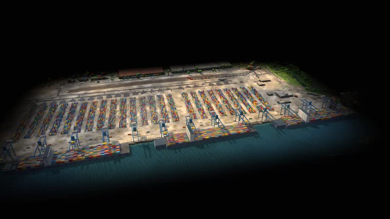
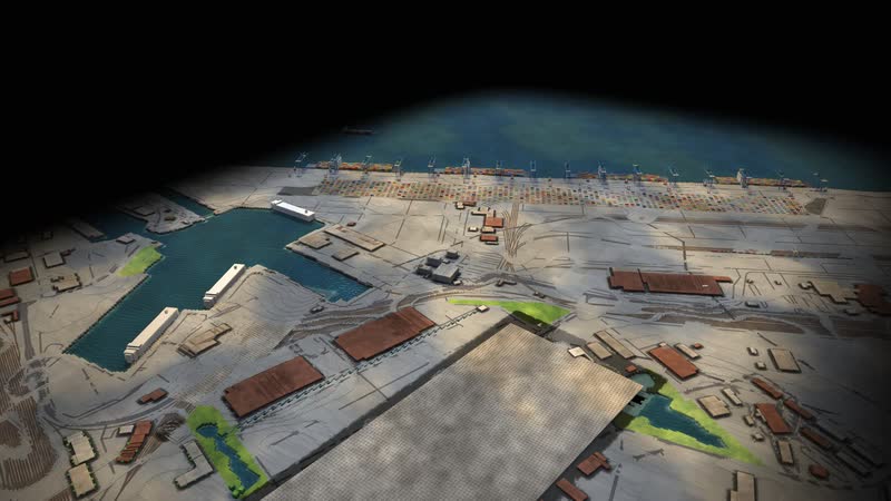
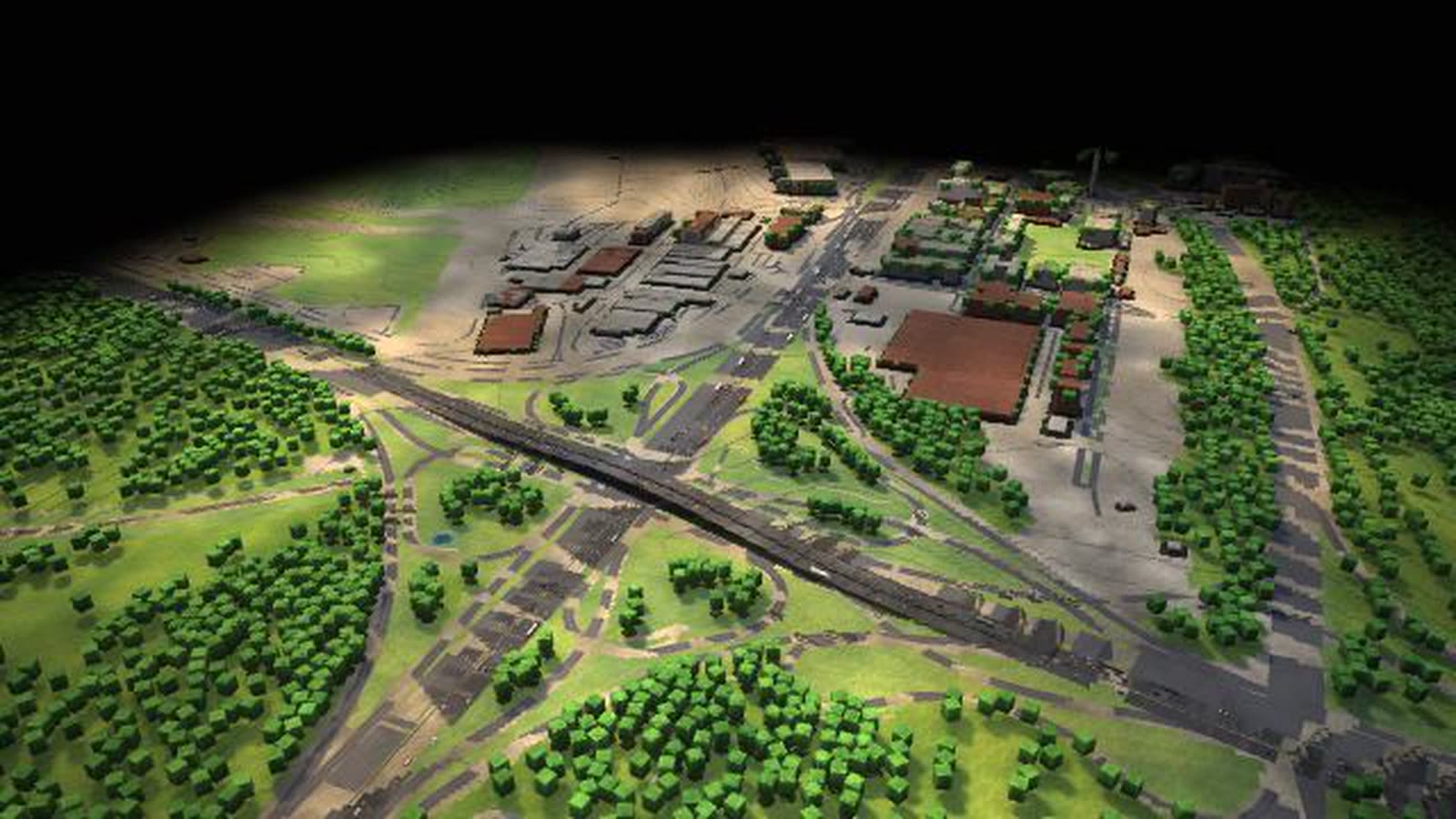
The canal port at the end of the Dortmund-Ems Canal as a walkable model: canal barges with two tiers of containers, three container gantries, four tracks and the route to the Westfalenhütte plant.
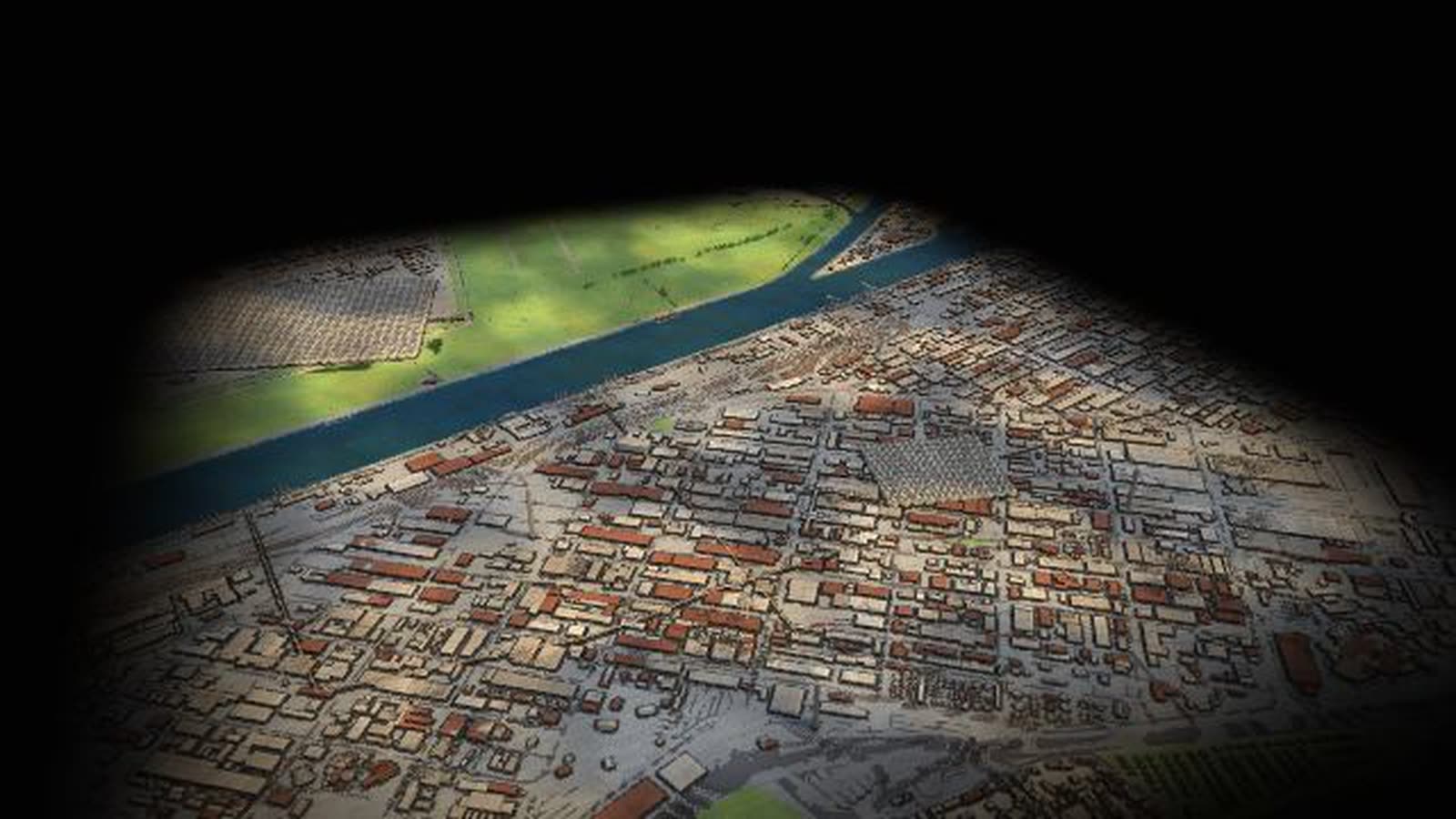
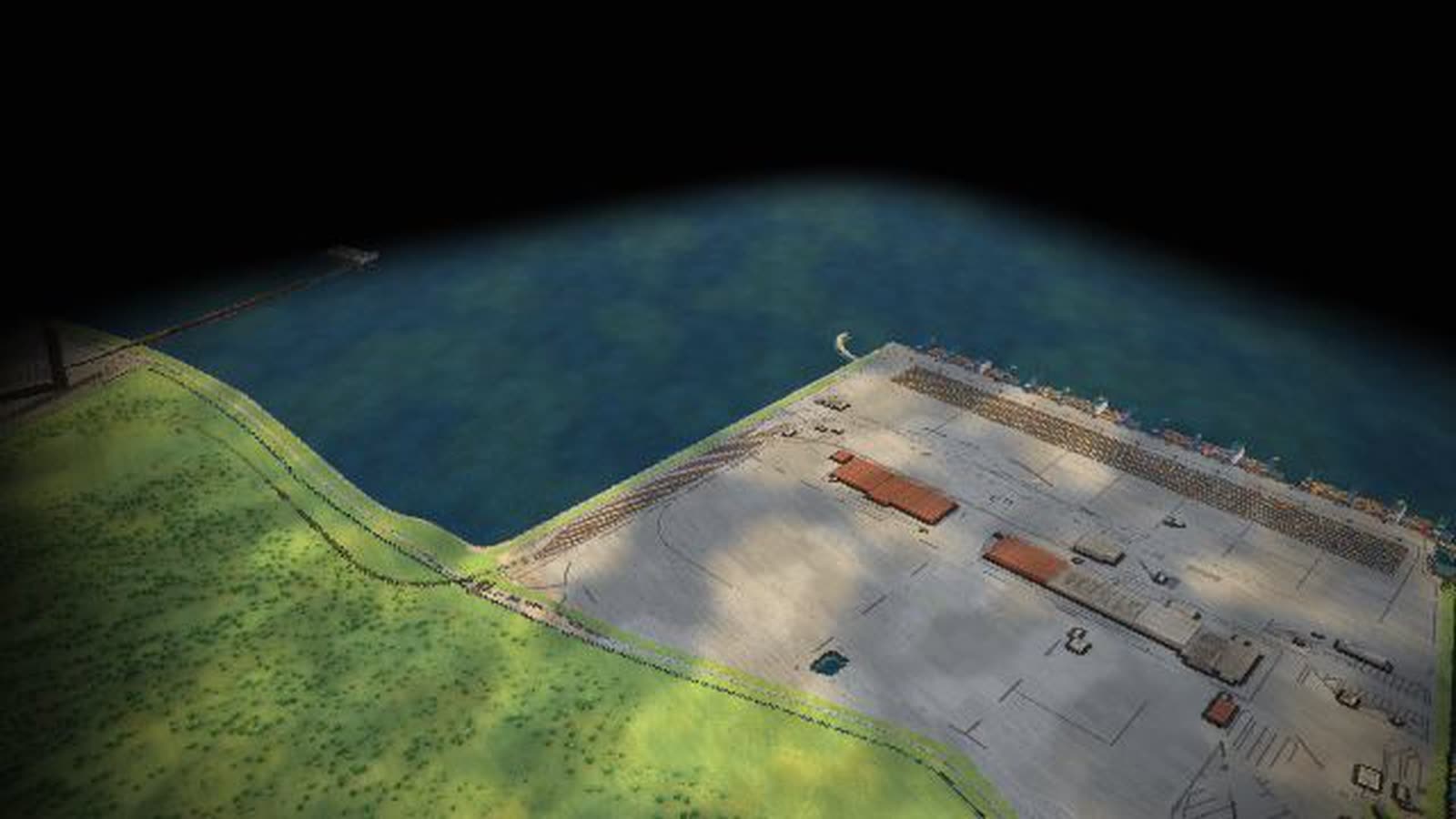
Real are the location, terrain and buildings (official NRW elevation data, OpenStreetMap) and the site profile figures. Volumes, rhythms and vehicle numbers are model assumptions, processes accelerated. With your data, the model also shows ships per lock, units per track and trucks per hour.
The Dortmund canal port at the end of the Dortmund-Ems Canal as a running model: canal barges up to 110 m berth at the container terminal with only two tiers of containers – otherwise they would not fit under the bridges. Three container gantries, four tracks and a 450-m quay; about 212,000 loading units were handled in 2024.
Trucks and trains carry on. About 4 km east, the Westfalenhütte plant takes deliveries – steel processing with coating, documented as a destination for goods from Duisburg. Two of the model’s supply chains end here: containers from Rotterdam via the Rhine and the canals, and steel from Duisburg by rail. In the model, 70 % of the volume goes by road. Another 23 % is natural gas from the Wilhelmshaven LNG terminal, about 20 kt a day: the node also stands for the Ruhr area in the gas grid, though the pipeline is not visible at the canal port itself. Snow and ice on the canals or a rail strike hit this site hardest and show how it depends on water and rail.
Real are the location, terrain and buildings, taken from official NRW elevation data and OpenStreetMap, and the figures in the site profile, taken from public information. Daily volumes, rhythms and vehicle numbers are model assumptions in the right order of magnitude; processes run accelerated, and the truck route to the plant is simplified. This page is for port and terminal operations, works logistics, the city and economic development, chambers, schools and exhibitions.
A ship in port (riding along, key F)
- 01
waiting at anchor
- 02
coming in
- 03
at the quay: being unloaded and loaded
- 04
leaving
What is shown – why – for whom
| Cosa viene mostrato | Perché | Per chi |
|---|---|---|
| Container terminal at the canal: three gantries, four tracks, 450 m quay | PerchéShows how ship, rail and truck meet. | Per chiTerminal operations, teaching |
| Canal barges up to 110 m with two container tiers | PerchéExplains the limit set by the bridges. | Per chiInland shipping, schools |
| Dortmund-Ems Canal via Henrichenburg lock | PerchéShows the route to the Rhine at Duisburg. | Per chiPlanning, local authorities |
| Trucks to the Westfalenhütte via Mallinckrodtstrasse and Brackeler Strasse | PerchéShows the last kilometres. | Per chiCity, works logistics |
| Westfalenhütte as industrial customer | PerchéShows where the goods go. | Per chiEconomic development, chambers |
| Snow and ice on the canals, rail strike | PerchéShow how the site depends on water and rail. | Per chiPort operations, public relations |
| Two supply chains that end here | PerchéLink Rotterdam and Duisburg with Dortmund. | Per chiExhibitions, public relations |
Facilities and areas in the model
-
Container terminal at the canal
Three container gantries, four tracks, 450 m quay; about 212,000 units in 2024. Canal barges fit under the bridges with two tiers only.
-
Dortmund-Ems Canal
Via Henrichenburg lock and the Rhine-Herne or Wesel-Datteln canal to the Rhine at Duisburg.
-
Trucks to the Westfalenhütte
The last kilometres by truck via Mallinckrodtstrasse and Brackeler Strasse (route simplified).
-
Westfalenhütte
Industrial customer: steel processing (coating). It is documented that goods from Duisburg go here; shown by rail (coils) and truck (example).
Processes in the model
A ship in port (riding along, key F)
- 01waiting at anchor
- 02coming in
- 03at the quay: being unloaded and loaded
- 04leaving
A train in the terminal (riding along, key F)
- 01arriving
- 02being loaded
- 03departing
A truck at the gate (riding along, key F)
- 01driving to the gate
- 02check-in at the gate
- 03driving to the loading point
- 04being loaded
- 05leaving
Supply chain ‘Containers Rotterdam → Dortmund’ (passes through this site)
- 01Rotterdam: containers from the sea ship onto the Rhine barge
- 02Up the Rhine to Duisburg – about 200 km upstream
- 03Duisburg: transhipment from Rhine barge to canal barge, rail and truck
- 04Via the Rhine-Herne and Dortmund-Ems canals to Dortmund (ships up to 110 m, two tiers)
- 05Dortmund, container terminal at the canal: from barge to truck – about 4 km to the Westfalenhütte plant
- 06Delivered: Westfalenhütte plant. Goods from Duisburg go there (documented); this container chain is an example (model)
Try the scenario ‘Winter chaos’
- 01tap it in the deck
- 02vehicles, yards and traffic-light rings at the site react at once
- 03time 4× shows how it develops
- 04‘Back to today’
How a canal port can use the model
-
Operations and planning
Canal, tracks and road are linked: in the model, 70 % of the volume travels by road. Higher tolls shift freight to rail and water, and quay, tracks and gate show the consequences at once.
Per chiTerminal operations, port planning, works logistics
-
Onboarding and training
Ride along with key F: a canal barge to the quay, a train being loaded, a truck from the gate to the loading point. One line says what is happening.
Per chiNew staff, port and logistics trainees
-
Local authorities and economic development
The supply chain ‘Containers Rotterdam → Dortmund’ shows how the city depends on the seaport via the Rhine-Herne and Dortmund-Ems canals, and how the last 4 km to the plant run.
Per chiCity, economic development, chambers
-
Schools, universities, museums
Why do canal barges carry only two tiers of containers? The model shows ship, bridge and canal together – also as a demo without anyone at the controls.
Per chiSchools, universities, museums and exhibitions
-
Public communication
The ‘Winter chaos’ scenario brings snow and ice: roads lose up to a third of their capacity and the canals partly freeze. Four times the speed shows how it develops, and one tap brings back today.
Per chiPublic relations, associations
What you can change
Controls
- Economy: How much is produced and traded overall. Acts on all flows of Dortmund.
- Consumer demand: Container goods and food for retail. Weight here about 50 % of the volume.
- Industrial output: Raw materials, steel, parts, chemicals. Weight here about 50 % of the volume.
- Transport cost / tolls: Expensive roads shift freight to rail and water. Here 70 % of the volume goes by road.
- Season: Spring: more building materials and seed, raw materials +8 %, food +5 %. Autumn: harvest (food +18 %), Christmas run-up (containers +8 %), first heating oil deliveries. Winter: heating oil and Christmas trade, less road capacity.
Disruptions
- Disruption: Motorway: One lane remains, the detour loads the neighbouring routes.
- Disruption: Rail strike (hits this site hardest): Freight trains stand still, trucks and ships take over part, stocks pile up.
- Disruption: Rhine closed: No ship between Rotterdam and Basel, rail and road at their limit.
- Extreme weather: Flood: Rhine closed, ships lie idle, rail and trucks take over where they can.
- Extreme weather: Low water: Ships sail half loaded, more trips, shift to rail.
- Extreme weather: Snow and ice (hits this site hardest): Bottlenecks overloaded, canals partly frozen.
What the model gives a canal port
-
01
Where two chains end
Containers from Rotterdam and steel from Duisburg arrive here. The model shows both routes up to the Westfalenhütte plant.
-
02
The limits of the canal
Ships up to 110 m, two tiers, a lock on the way: you see why the canal works differently from the Rhine.
-
03
Disruptions without damage
Trigger snow and ice, a rail strike, a Rhine closure or low water, see the consequences, then return to today.
-
04
Site and map in one model
Throughput, stock and utilisation are the same figures as on the Germany map, shown with live values in the site profile.
-
05
For visits and big screens
Runs in the browser and on large projections, with a demo that starts without anyone at the controls.
Your port as a model
Would you like to see your quay, tracks or the supply of your plants like this? Write or call us and we'll work out which ship, train and truck data the model needs. The password is available on request.
cube4tec.de/spiele/minimal-logistik/
Chiedere informazioni
Minimal Logistik: Dortmund · Kanalhafen und Westfalenhütte
Basis and limits
Real are the location, terrain and buildings of Dortmund (official NRW elevation data and OpenStreetMap) and the figures in the site profile, taken from public information. Daily volumes, rhythms and vehicle numbers are model assumptions in the right order of magnitude; processes run accelerated.
Public sources the model is based on:
- OpenStreetMap contributors: map data (ODbL 1.0)
- OpenFreeMap / OpenMapTiles: vector tiles
- Geobasis NRW: surface and terrain models DOM1/DGM1 (dl-de/zero-2.0)
- City of Dortmund: statistics, port throughput
- ELWIS: inland waterways – technical data
- Waterways construction office Datteln: Rhine-Herne Canal
- Federal Statistical Office: freight transport by mode
- German Environment Agency: freight emission data 2024 (g CO₂e per tonne-kilometre)
More places in the model
-
Duisburg · logport I (Rheinhausen)
A trimodal inland port on the Rhine as a walkable model: Rhine barges with sea containers from Rotterdam, gantries and yard, trains to the south, Eastern Europe and Asia, trucks into the region.
-
Duisburg-Schwelgern · works harbour and blast furnaces
A raw-material chain as a walkable model: push convoys with ore and coal from Rotterdam, grab unloaders, ore and coal stockyards, conveyor belts and the Schwelgern 1 and 2 blast furnaces.
-
Ludwigshafen · chemicals on the Rhine
A large chemical site on the Upper Rhine as a walkable model: tankers at loading arms, tank wagons on the works railway, pipe bridges, the Friesenheimer Insel tank farm and the container quay.
-
Germany · freight flows and nodes
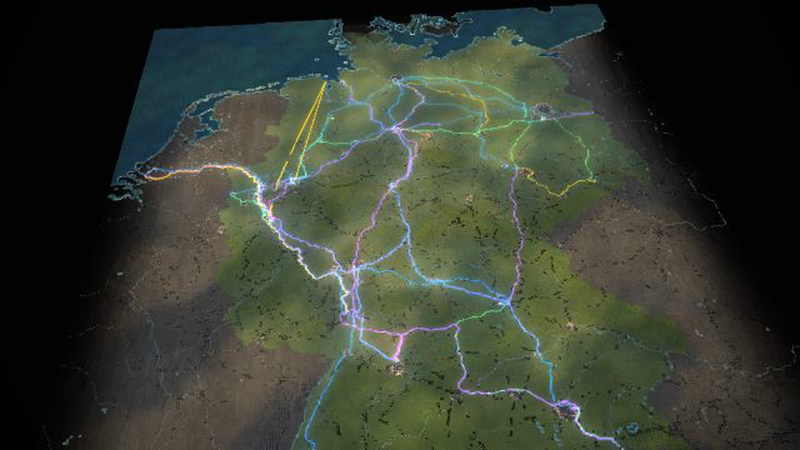
All of Germany as a map of blocks: 27 nodes, 55 freight flows as bands of light, eleven bottlenecks with traffic lights. Controls, seasons, disruptions and ten scenarios change every flow at once, compared with today.
-
Hamburg · Container Terminal Altenwerder
An automated container terminal as a walkable model: up to 14 container gantries, driverless transport vehicles, the block yard, a rail station for trains up to 740 m and the truck gate.
-
Bremerhaven · car terminal and river quay
Bremerhaven as a walkable model: almost five kilometres of river quay for the largest container ships, straddle carriers, car trains and parking for about 95,000 vehicles at the mouth of the Weser.
-
Wilhelmshaven · JadeWeserPort and LNG terminal
Germany’s only deep-water port as a walkable model: the container quay on the Jade with straddle carriers and rail, plus the floating LNG terminal, a tank farm and the crude-oil pipeline to the refineries.
-
Frankfurt interchange (A3/A5)
One of Europe’s busiest motorway interchanges as a walkable model: the A3 and A5 cross, the weaving section becomes the bottleneck, and the tailback grows with freight, holidays or snow.
Real are the location, terrain and buildings (official NRW elevation data, OpenStreetMap) and the site profile figures. Volumes, rhythms and vehicle numbers are model assumptions, processes accelerated. With your data, the model also shows ships per lock, units per track and trucks per hour.