
シミュレーション · Minimal Logistik · Road, air and distribution
Frankfurt interchange (A3/A5)
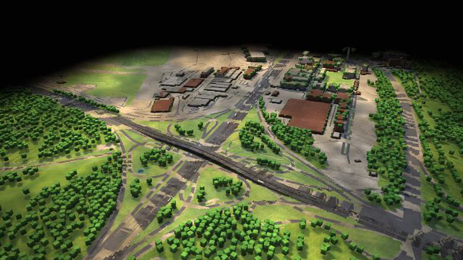
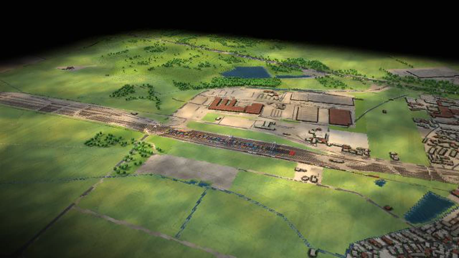
One of Europe’s busiest motorway interchanges as a walkable model: the A3 and A5 cross, the weaving section becomes the bottleneck, and the tailback grows with freight, holidays or snow.
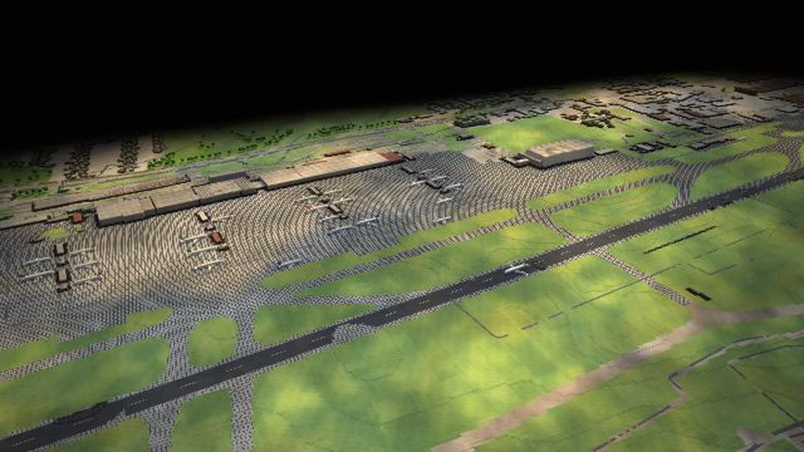
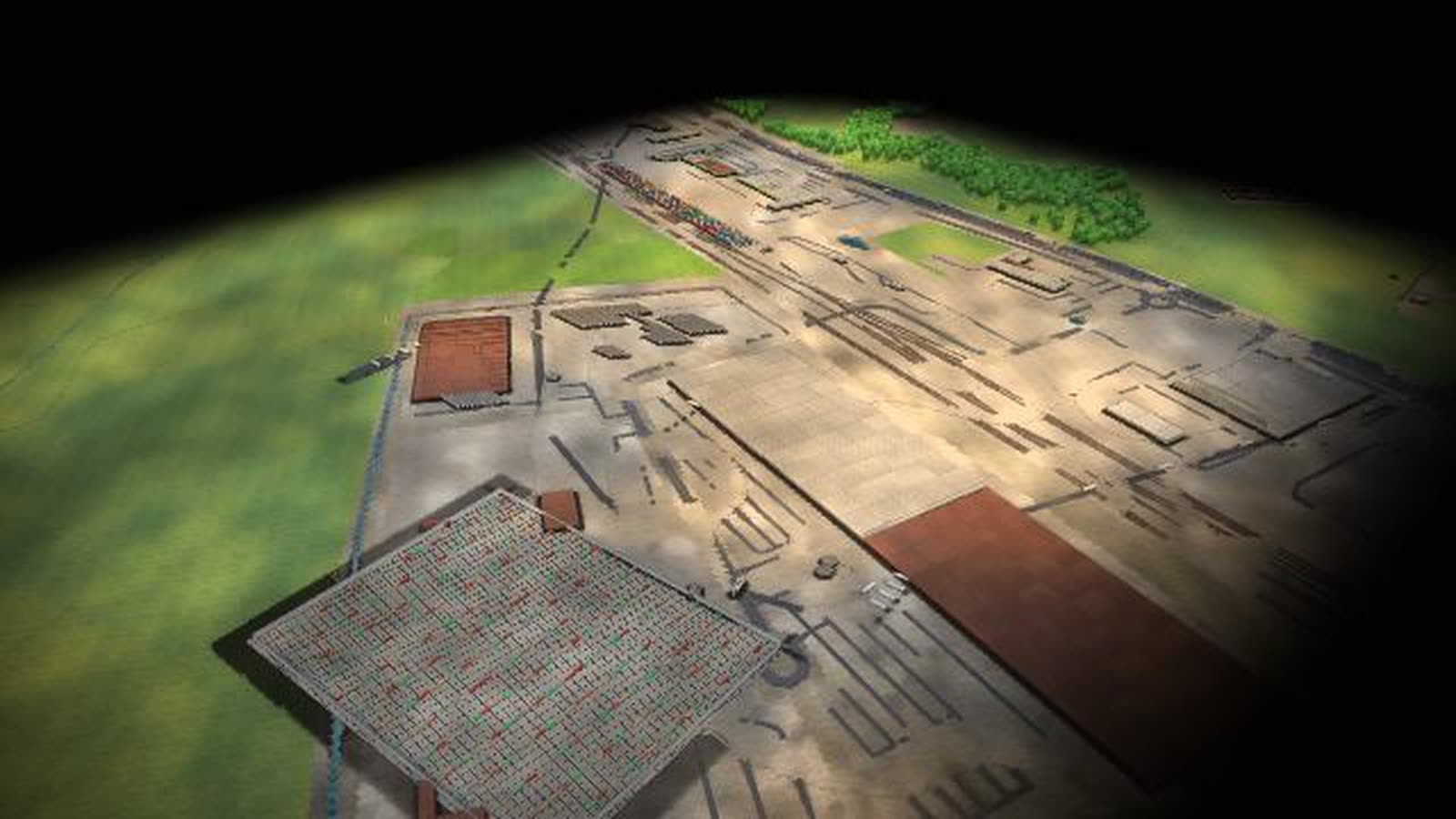
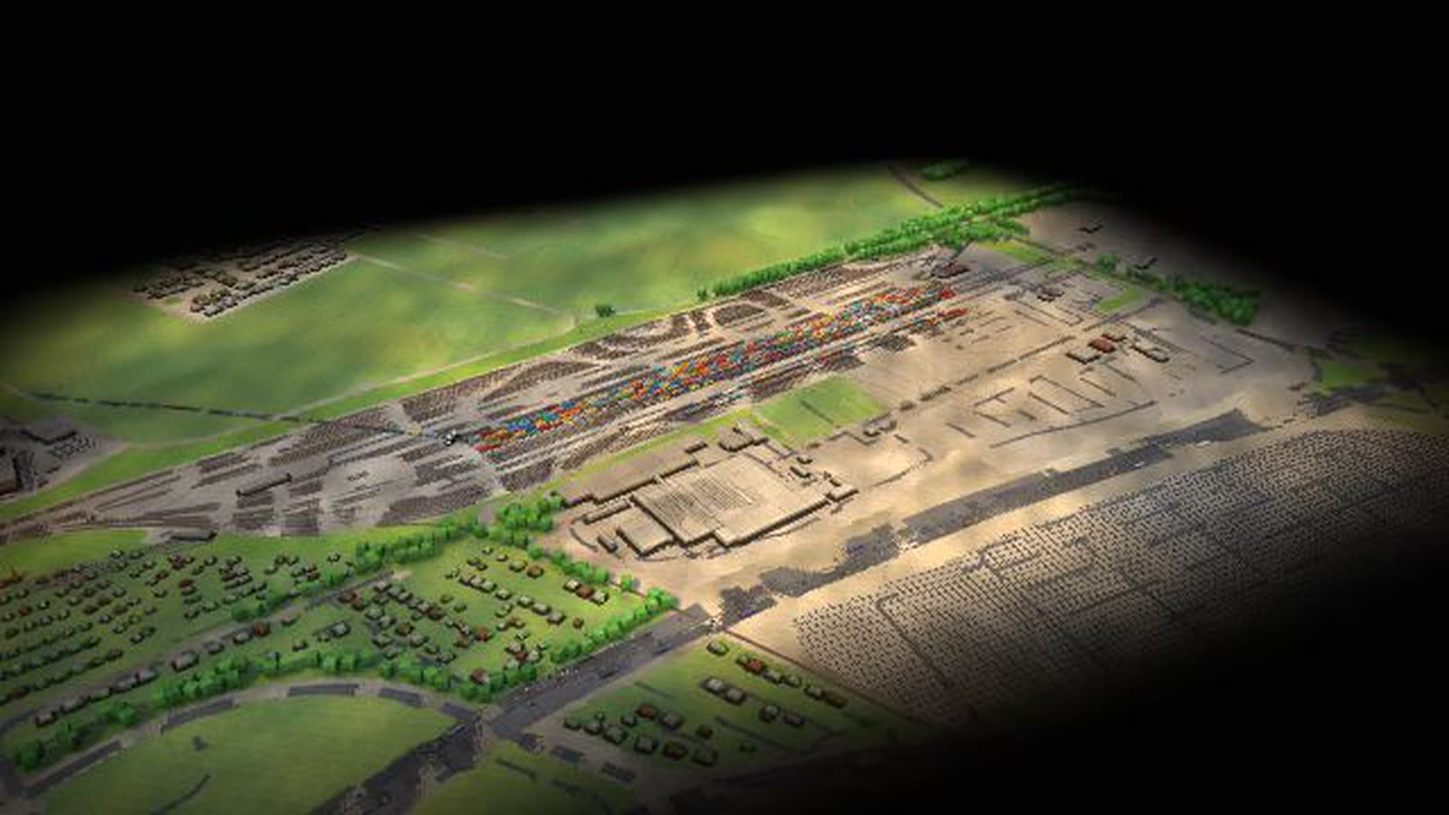
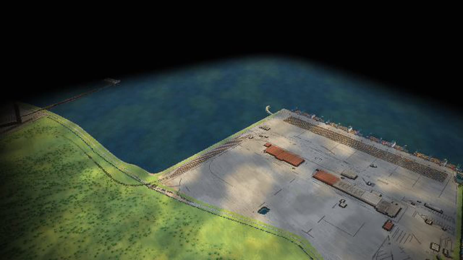
Real are the location, terrain and buildings (open elevation data, OpenStreetMap) and the site profile figures. Volumes, rhythms and vehicle numbers are model assumptions, processes accelerated. With your data, the model also shows trucks per hour, queues per approach and closure effects.
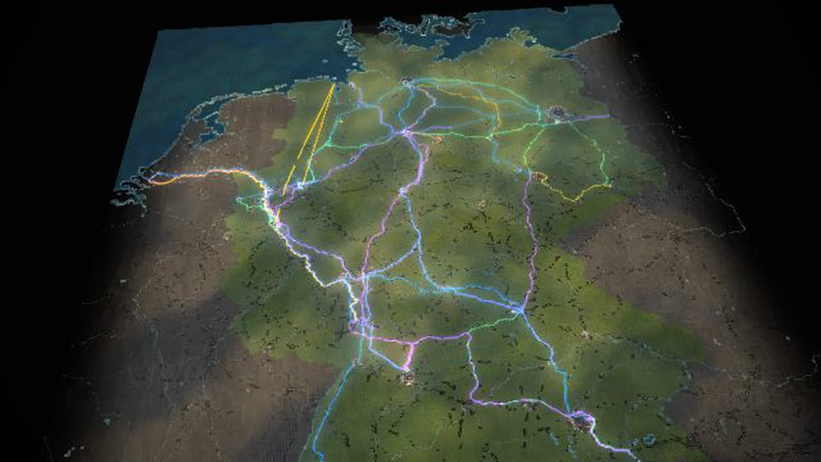
The Frankfurt interchange as a running motorway interchange simulation: according to press reports about 335,000 vehicles a day pass here, making it one of the busiest motorway interchanges in Europe. The A3 Cologne–Würzburg crosses the A5 Hamburg–Basel; where many vehicles change motorway, the weaving section is the bottleneck. Utilisation at the site is the same as at the bottleneck on the Germany map.
On the A3 from Cologne the tailback grows with more freight, holidays or snow. On the A5 from Kassel, trucks run between the seaports and southern Germany. In the model, 84 % of the node’s volume travels by road, 65 % of it industrial goods. You ride along with a vehicle, get stuck in the jam and watch the tailback slowly clear from its end. The ‘Motorway closed’ scenario shows how a closure loads the neighbouring routes. Next to it lies the airport with Germany’s largest air cargo volume.
Real are the location, terrain and buildings, taken from open elevation data and OpenStreetMap, and the figures in the site profile, taken from public information. Daily volumes, rhythms and vehicle numbers are model assumptions in the right order of magnitude; processes run accelerated. This page is for transport planning, logistics companies and dispatch, local authorities and the region, chambers and associations, schools and universities.
Traffic at the bottleneck (riding along, key F)
- 01
driving
- 02
stuck in a jam
- 03
the tailback slowly clears from its end (model)
What is shown – why – for whom
| 表示内容 | なぜ | 対象 |
|---|---|---|
| The interchange: A3 and A5, the weaving section as bottleneck | なぜShows where the jam starts. | 対象Transport planning, teaching |
| A3 from Cologne with tailback before the interchange | なぜShows the effect of freight, holidays and snow. | 対象Logistics companies, local authorities |
| A5 from Kassel: trucks between the seaports and southern Germany | なぜShows the north–south freight axis. | 対象Chambers, associations |
| Utilisation as at the bottleneck on the Germany map | なぜLinks site and network. | 対象Planning, universities |
| Riding along in the jam | なぜExplains how a tailback clears. | 対象Dispatch, schools |
| Motorway disruption and the ‘Motorway closed’ scenario | なぜShow the load on the neighbouring routes. | 対象Transport planning, public relations |
Facilities and areas in the model
-
Frankfurt interchange
Where the A3 and A5 cross, many vehicles change motorway – the weaving section is the bottleneck. Utilisation as on the map (model).
-
A3 from Cologne
Tailback before the interchange: more freight, holidays or snow make it grow.
-
A5 from Kassel
North-south axis Hamburg–Basel: trucks between the seaports and southern Germany.
Processes in the model
Traffic at the bottleneck (riding along, key F)
- 01driving
- 02stuck in a jam
- 03the tailback slowly clears from its end (model)
Try the scenario ‘Motorway closed’
- 01tap it in the deck
- 02vehicles, yards and traffic-light rings at the site react at once
- 03time 4× shows how it develops
- 04‘Back to today’
How a transport region can use the model
-
Operations and planning
In the motorway disruption one lane remains and the detour loads the neighbouring routes. The model shows how the tailback grows and how slowly it clears again.
対象Transport planning, logistics companies
-
Onboarding and training
Ride along with key F: a vehicle drives, gets stuck in the jam and sees the tailback slowly clear from its end. One line says what is happening.
対象Dispatch, logistics trainees
-
Local authorities and economic development
Interchange and airport in one picture: more freight, holidays or snow make the tailback grow. That explains why there are so many jams here.
対象Local authorities, the region, chambers
-
Schools, universities, museums
What is a weaving section, and why does it become a bottleneck? The model shows it at the interchange itself – also as a demo without anyone at the controls.
対象Schools, universities, museums and exhibitions
-
Public communication
The ‘Motorway closed’ scenario shows at four times the speed how a closure works and the detour fills the neighbouring routes – and one tap brings back today.
対象Public relations, associations
What you can change
Controls
- Economy: How much is produced and traded overall. Acts on all flows of Frankfurt interchange.
- Consumer demand: Container goods and food for retail. Weight here about 41 % of the volume.
- Industrial output: Raw materials, steel, parts, chemicals. Weight here about 59 % of the volume.
- Transport cost / tolls: Expensive roads shift freight to rail and water. Here 84 % of the volume goes by road.
- Season: Spring: more building materials and seed, raw materials +8 %, food +5 %. Autumn: harvest (food +18 %), Christmas run-up (containers +8 %), first heating oil deliveries. Winter: heating oil and Christmas trade, less road capacity.
Disruptions
- Disruption: Motorway (hits this site hardest): One lane remains, the detour loads the neighbouring routes.
- Disruption: Rail strike: Freight trains stand still, trucks and ships take over part, stocks pile up.
- Extreme weather: Snow and ice (hits this site hardest): Bottlenecks overloaded, canals partly frozen.
What the model gives a transport region
-
01
Congestion explained, not lamented
The model shows the cause – the weaving section – and the effect – the tailback – at the same place.
-
02
One interchange in the network
Utilisation is the same figure as at the bottleneck on the Germany map. What happens in the network arrives at the interchange.
-
03
Disruptions without damage
Motorway closure, snow and ice hit this site hardest. Trigger them, then return to today.
-
04
Road as a lever
Here 84 % of the volume goes by road. The transport cost and tolls control shows what a shift to rail and water changes.
-
05
For talks and big screens
Runs in the browser and on large projections, with a demo that starts without anyone at the controls.
Your road network as a model
Would you like to see your interchange, approaches or the effects of a closure like this? Write or call us and we'll work out which traffic data the model needs. The password is available on request.
cube4tec.de/spiele/minimal-logistik/
この件について問い合わせる
Minimal Logistik: Frankfurter Kreuz (A3/A5)
Basis and limits
Real are the location, terrain and buildings of Frankfurt interchange (open elevation data and OpenStreetMap) and the figures in the site profile, taken from public information. Daily volumes, rhythms and vehicle numbers are model assumptions in the right order of magnitude; processes run accelerated.
Public sources the model is based on:
- OpenStreetMap contributors: map data (ODbL 1.0)
- OpenFreeMap / OpenMapTiles: vector tiles
- Terrain Tiles, AWS Open Data (Terrarium)
- Local press: Frankfurt interchange closed (about 335,000 vehicles a day)
- Trade press: ten-lane widening of the A5 technically possible
- Federal Statistical Office: freight transport by mode
- German Environment Agency: freight emission data 2024 (g CO₂e per tonne-kilometre)
More places in the model
-
Leipzig/Halle · air cargo hub
A night hub for air cargo as a walkable model: about 60 freighters a night on the 3,600-m south runway, the apron, the sorting halls and the A14 at the Schkeuditz interchange.
-
Großbeeren · freight village Berlin South
The freight village on the Berlin ring as a walkable model: distribution centres for retail and food, an intermodal terminal for goods from Hamburg, and the expressway the capital’s supply depends on.
-
Munich · Riem transhipment station
The transhipment station in the east of Munich as a walkable model: container trains from Hamburg, Bremerhaven and Italy, gantry cranes between train, yard and truck, and the A94 next door.
-
Lehrte · MegaHub
A train-to-train transfer facility as a walkable model: six tracks of 720 m each, three gantry cranes, driverless transporters – and freight trains regrouped without shunting.
-
Germany · freight flows and nodes
All of Germany as a map of blocks: 27 nodes, 55 freight flows as bands of light, eleven bottlenecks with traffic lights. Controls, seasons, disruptions and ten scenarios change every flow at once, compared with today.
-
Hamburg · Container Terminal Altenwerder
An automated container terminal as a walkable model: up to 14 container gantries, driverless transport vehicles, the block yard, a rail station for trains up to 740 m and the truck gate.
-
Bremerhaven · car terminal and river quay
Bremerhaven as a walkable model: almost five kilometres of river quay for the largest container ships, straddle carriers, car trains and parking for about 95,000 vehicles at the mouth of the Weser.
-
Wilhelmshaven · JadeWeserPort and LNG terminal
Germany’s only deep-water port as a walkable model: the container quay on the Jade with straddle carriers and rail, plus the floating LNG terminal, a tank farm and the crude-oil pipeline to the refineries.
Real are the location, terrain and buildings (open elevation data, OpenStreetMap) and the site profile figures. Volumes, rhythms and vehicle numbers are model assumptions, processes accelerated. With your data, the model also shows trucks per hour, queues per approach and closure effects.