
模拟 · Minimal Energy · Wind and sea
Coast near Norden
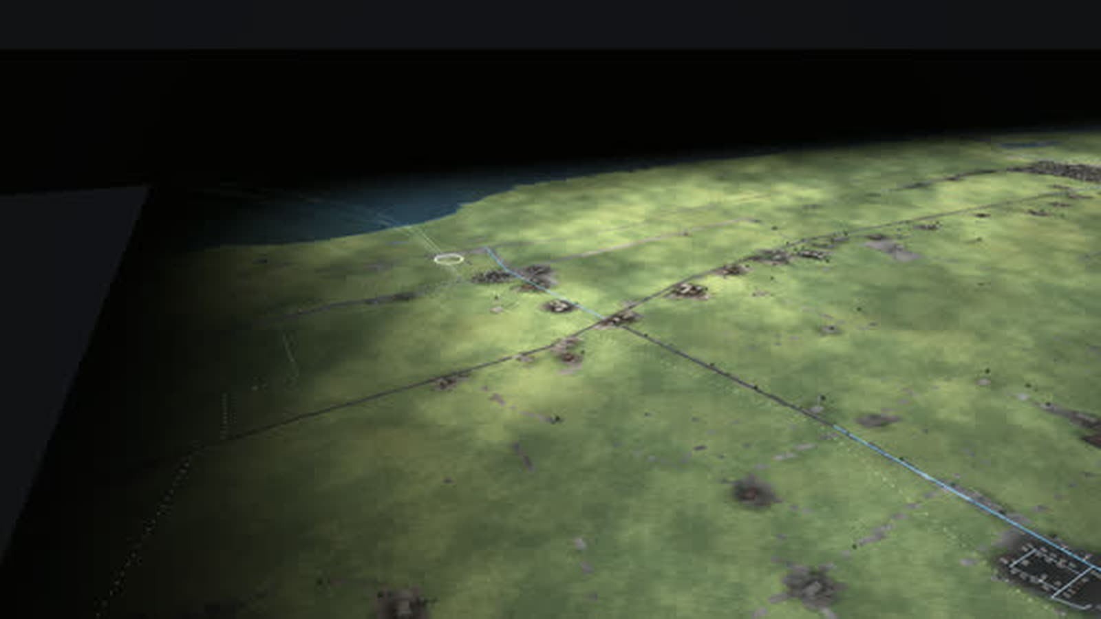
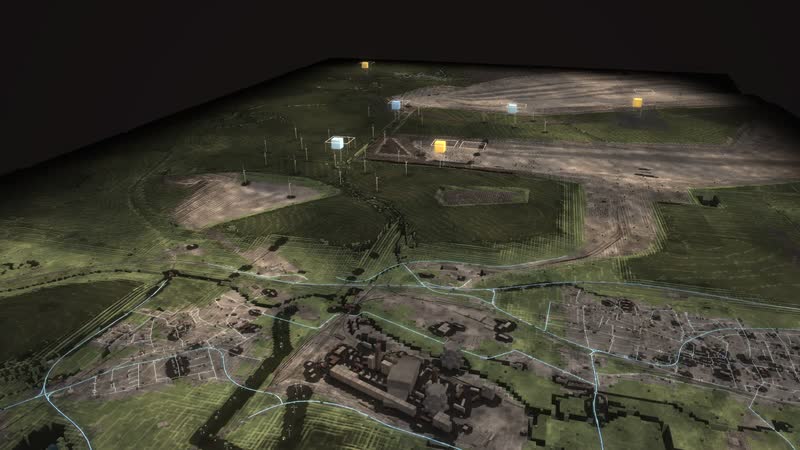
Where energy from the North Sea comes ashore, as a walkable model: six direct-current cables under the dike, natural gas from Norway since 1995 and more than 200 wind turbines behind the dike.
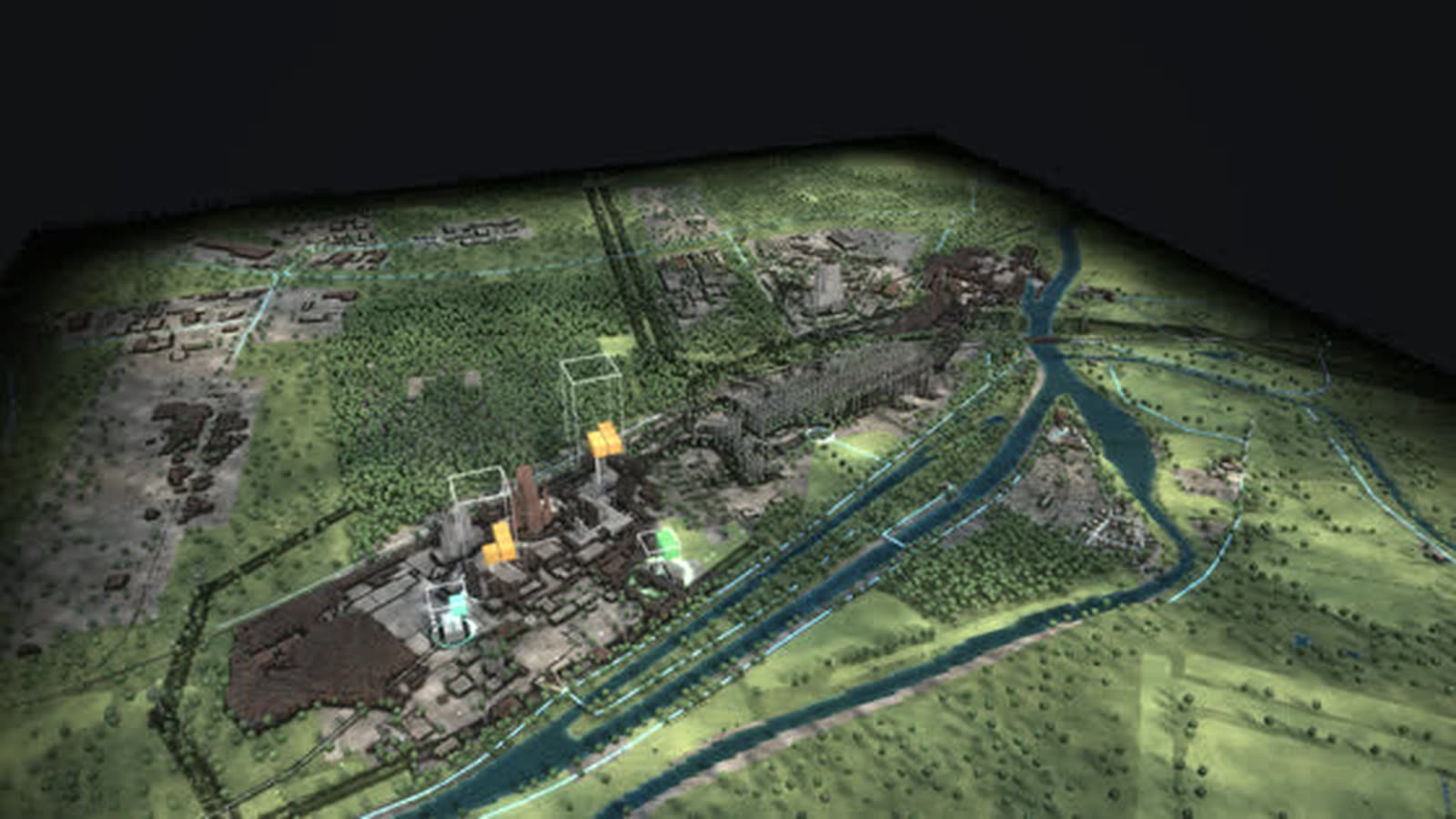
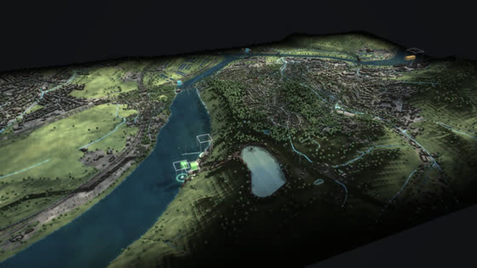
Real are terrain and buildings (LGLN Lower Saxony, OpenStreetMap), cables and pipelines from OpenStreetMap and every wind turbine and biogas plant from the market master data register. Plants dismantled before 2019 are missing there; the mudflats are added by elevation; what is delivered now comes from the model. With your data it shows more, such as real cable routes, feed-in per connection or planned landfalls.
Where does the power of the offshore wind farms come ashore? Between Norden and Dornum: at Hilgenriedersiel six direct-current cables with more than 4,500 MW together run under the dike, plus the 110 kV cable of alpha ventus, which has fed in at the Hagermarsch substation since 2009. The converters stand further inland, for example in Dörpen, Emden and Garrel.
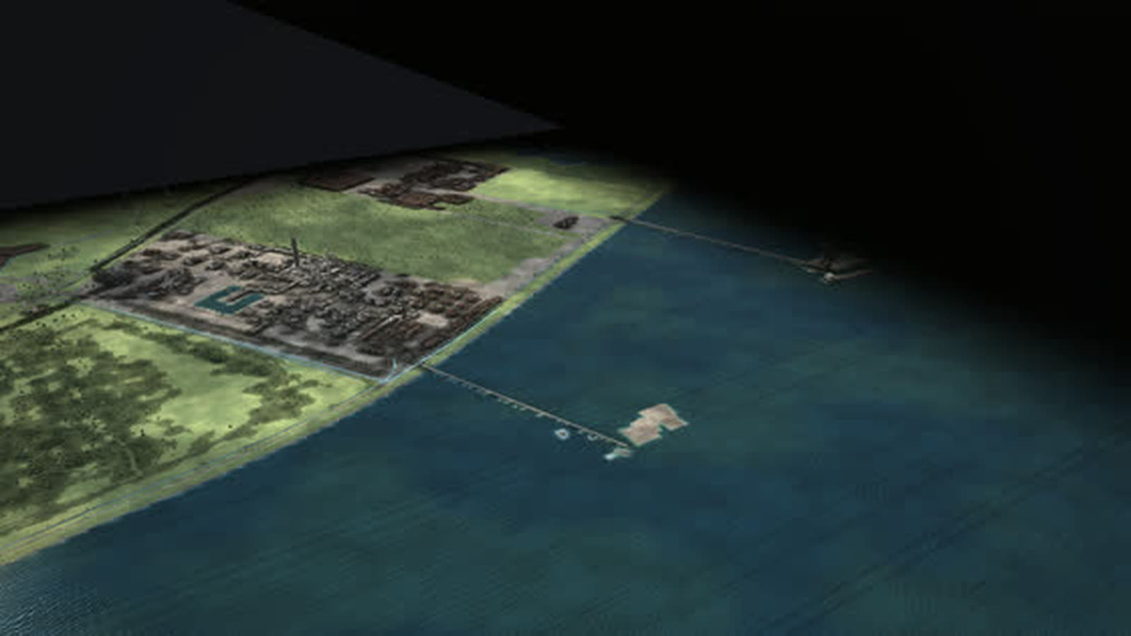
Natural gas from Norway has arrived at Dornum since 1995, through two pipelines 620 and 658 km long; the second has delivered about 71 million m³ a day since 1999. The last stretch lies in a tunnel under the Wadden Sea, and from Dornum the gas runs 48 km on to Emden.
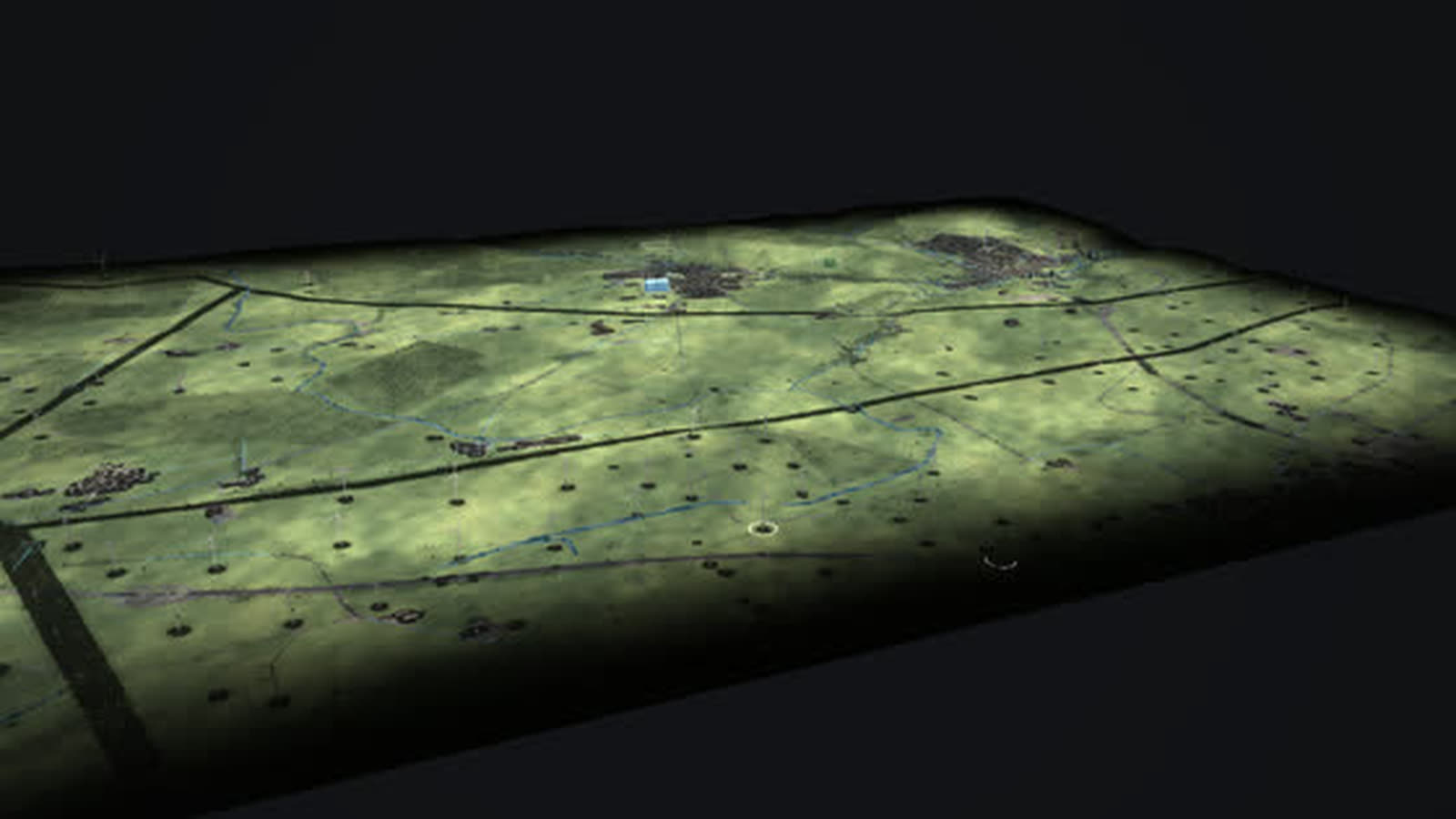
Behind the dike stand more than 200 wind turbines, each individually from the market master data register; the oldest still running date from 1991 and have 150 kW. East Frisia took up wind power early, and the Holtriem wind farm is one of its large community wind farms. Biogas farms add power and heat to the wind. For grid planners and plant operators, coastal municipalities, chambers and associations, schools, universities and exhibitions.
The chain of the place
- 01
Landfall: This is where the submarine cables of the offshore wind farms come ashore.
- 02
Under the dike: Direct-current cables run under the dike to the converters inland.
- 03
The first connection: alpha ventus has fed in at Hagermarsch at 110 kV since 2009.
- 04
Gas from Norway: Natural gas from Norway has arrived at Dornum since 1995.
- 05
Onshore wind: More than 200 wind turbines stand behind the dike; East Frisia took up wind power early.
- 06
Biogas: Biogas farms add power and heat to the wind.
What is shown – why – for whom
| 展示内容 | 为什么 | 适用对象 |
|---|---|---|
| Hilgenriedersiel landfall with six direct-current cables | 为什么shows where more than 4,500 MW of offshore capacity comes ashore | 适用对象Grid planning, the public |
| Dornum receiving station and the tunnel under the Wadden Sea | 为什么shows the path of the natural gas from Norway | 适用对象Teaching, exhibitions |
| Every wind turbine and biogas plant from the register | 为什么shows the onshore stock with year built | 适用对象Municipalities, planning |
| Diagram ‘Imports and exports’ | 为什么shows power across the borders to the neighbours | 适用对象Grid planning, associations |
| Diagram ‘Additions and closures’ | 为什么shows how much capacity is added and removed each year | 适用对象Regional planning, economic development |
| Diagram ‘Energy flow now’ | 为什么shows how fuels, power, heat and losses flow in this hour | 适用对象Universities, energy industry |
| Event ‘Stormy night’ | 为什么shows surplus, curtailment and power flowing south | 适用对象Grid operations, the public |
Facilities and areas in the model
-
Landfall Hilgenriedersiel
This is where offshore power comes ashore: six direct-current cables (BorWin1, 2 and 5, DolWin1, 2 and 6) with more than 4,500 MW together and the 110 kV cable of alpha ventus run under the dike. The converters stand further inland, for example in Dörpen, Emden and Garrel.
-
Umspannwerk Hagermarsch
110 kV: grid connection of alpha ventus, the first German offshore wind farm, since 2009 (position OpenStreetMap).
-
Europipe receiving station Dornum
Norwegian natural gas arrives here: Europipe I since 1995 (620 km from the Draupner E platform), Europipe II since 1999 (658 km from Kårstø, about 71 million m³ a day). The last stretch lies in a tunnel under the Wadden Sea; from Dornum it runs 48 km on to Emden.
-
Wind turbines on the coast
Every turbine individually from the market master data register. Wind power started early in East Frisia: the oldest turbines still running here date from 1991 and have 150 kW.
-
Holtriem wind farm
One of the large community wind farms of East Frisia, built from 1998 and extended several times. Figures for its total capacity differ depending on the boundary (OpenStreetMap: 288 MW).
-
Oldest turbines: 1991
Wind World W2700 with 150 kW, in operation since June 1991, according to the register the oldest turbines still running in the area.
-
Biogas on the farms
Biogas plants from the register: digester, gas roof and combined heat and power unit, almost around the clock.
Processes in the model
The chain of the place
- 01Landfall: This is where the submarine cables of the offshore wind farms come ashore.
- 02Under the dike: Direct-current cables run under the dike to the converters inland.
- 03The first connection: alpha ventus has fed in at Hagermarsch at 110 kV since 2009.
- 04Gas from Norway: Natural gas from Norway has arrived at Dornum since 1995.
- 05Onshore wind: More than 200 wind turbines stand behind the dike; East Frisia took up wind power early.
- 06Biogas: Biogas farms add power and heat to the wind.
One day
- 01“Play the day”
- 02the sun moves, wind and demand change every hour
- 03the stacks above the plants grow and shrink
- 04storage charges and discharges
Fifty years
- 01▶ at the year (time travel)
- 021990
- 032000
- 042012
- 052025
- 06plants appear, run, are shut down and dismantled; the history of the place jumps to every year
How a coastal region can use the model
-
Grid and connection
Landfall, substation, gas receiving station and wind turbines in one picture: the model shows where submarine cables, underground cables and the gas pipeline cross the coast.
适用对象Grid operators, route planning, plant operators
-
Municipality and coast
What runs under the dike, what stands behind it? Time travel shows 1990, 2000, 2012 and 2025 from the same camera, and the history of the place jumps to every year.
适用对象Municipalities, economic development, chambers
-
Schools and universities
Where do the submarine cables come ashore, how does gas from Norway reach Germany? The six steps from landfall to biogas fly to each part, and it lights up.
适用对象Teachers, pupils, students
-
Museums and exhibitions
East Frisia took up wind early: the oldest turbines still running, from 1991, stand in the same area as the landfall of the big offshore wind farms – two eras of wind power in one picture.
适用对象Museums, exhibitions, visitor centres
-
Public communication
The stormy night shows what arrives here: wind delivers more than is needed, power flows south and abroad, yellow rings show curtailment.
适用对象Public relations, public dialogue, associations
What you can change
Controls
- Year 1975–2025: plants appear and disappear, mix and grid change; ▶ lets the years run.
- Season: snow, foliage, meadows, chimney smoke; more heat and power demand in winter, more sun in summer.
- Time of day: sun position, dusk, night with windows and street lights; demand follows the daily profile.
- Wind: rotors turn faster, sea state, smoke plumes lie flat; wind power rises, curtailment in a storm.
- Sun: clouds and soft shadows; photovoltaics deliver more or less.
- Demand (households, industry): more lit windows, plant lighting, chimney smoke; more expensive plants step in.
- Views: power, heat, fuels, storage, CO₂ – each with its own columns, stacks and values.
Events
- Stormy night: Winter gale at 3 am with low demand. Wind delivers more than is needed. Look for: blue cubes above the frame, power flows south and abroad, yellow rings show curtailment, storage charges.
- Winter evening without wind or sun (tiles): Season winter, evening, calm, overcast: demand peaks, the stacks above wind and solar shrink, fossil plants, storage and imports carry the load.
- Stormy night (tiles): Night, gale, low demand: wind delivers more than is needed, storage charges, surplus is curtailed or exported.
What the model gives a coastal region
-
01
What lies under the dike
Cables and pipelines from OpenStreetMap make visible what cannot be seen on site: submarine cables, underground cables and the gas pipeline in the tunnel under the Wadden Sea.
-
02
Sea and land connected
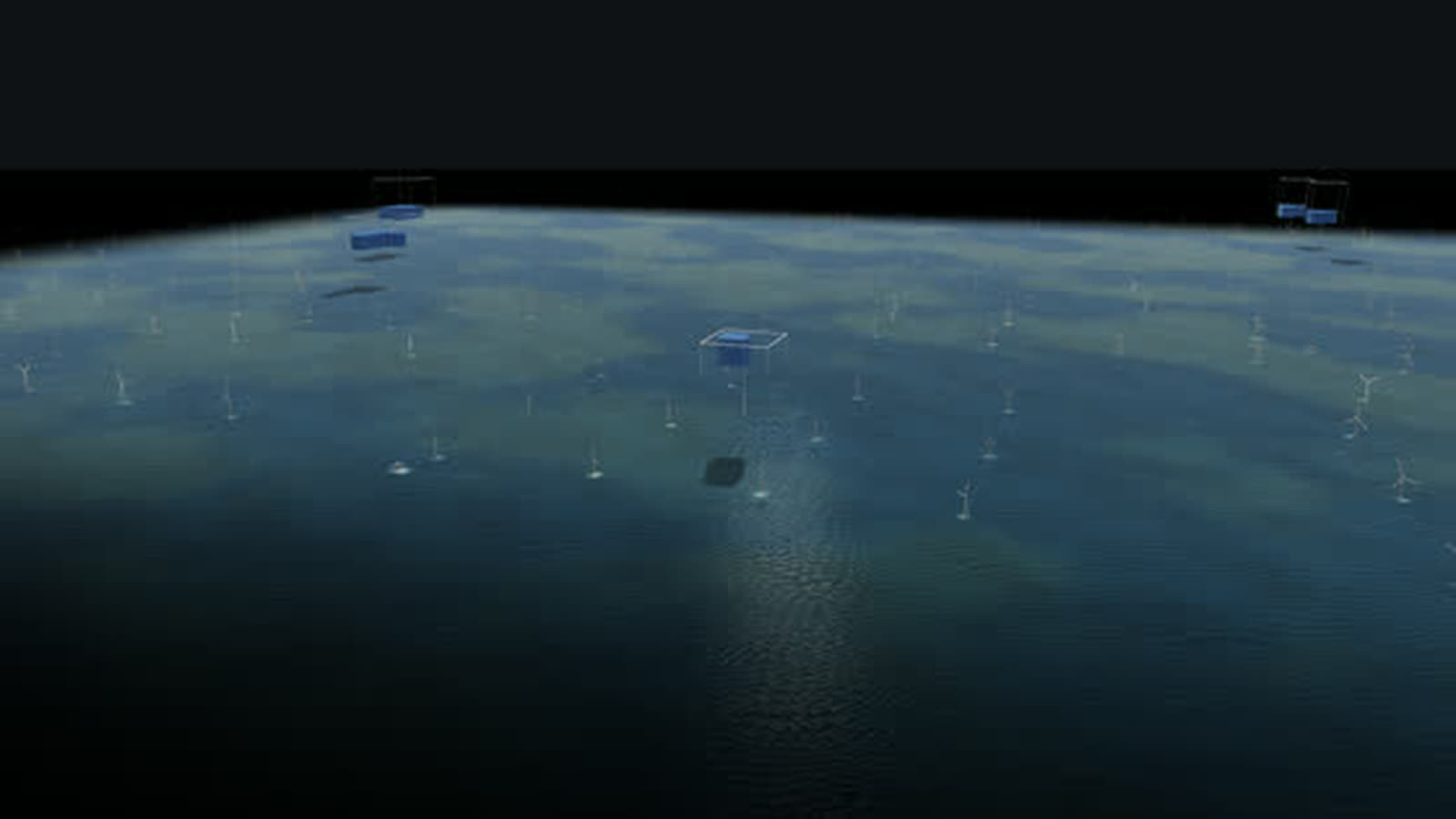
The place ‘North Sea off Borkum’ shows the wind farms and platforms from which cables lead here – both places are part of the same model.
-
03
Every turbine in its place
More than 200 turbines behind the dike stand individually with their year. Above them a stack of cubes shows the power now, one cube 20 MW.
-
04
Weather that matters
Wind makes the rotors turn faster, the sea rise and smoke plumes lie flat; season, time of day and demand change the situation at once.
-
05
In the browser and on the big screen
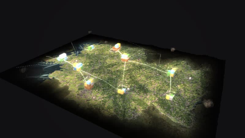
A browser is enough, and large projections work too. Eleven more places and the map of Germany are part of the same model, designed by an artist and developer.
Your grid connection as a model
Would you like to show your cable route, your grid connection or your onshore wind farms this way, with real routes and capacities? Write to us or give us a call, and we will discuss which data the model needs. We will send you the password to the simulation on request.
cube4tec.de/spiele/minimal-energy/
就此咨询
Minimal Energy: Küste bei Norden
Basis and limits
Real are terrain and buildings (LGLN Lower Saxony, OpenStreetMap), cables and pipelines from OpenStreetMap and every wind turbine and biogas plant from the market master data register. Plants dismantled before 2019 are missing there; the mudflats are added by elevation.
Public sources the model is based on:
- LGLN Niedersachsen (CC BY 4.0)
- OpenStreetMap-Mitwirkende (ODbL)
- Marktstammdatenregister der Bundesnetzagentur (dl-de/by-2-0)
More places in the model
-
North Sea off Borkum
The beginning of German offshore wind as a walkable model: twelve test turbines from 2009, a cluster of 284 turbines and about 1,660 MW, substation and converter platforms and the way ashore.
-
Paderborn plateau
One of the densest wind landscapes in North Rhine-Westphalia as a walkable model: every turbine with its year, from the 500 kW turbine of 1995 to the 6.2 MW turbine with a 169 m hub.
-
Wilhelmshaven
Germany’s only deep-water port as a walkable model: crude oil for the pipeline to the Rhineland, coal for two power plants and, since December 2022, liquefied natural gas from Germany’s first LNG terminal.
-
Lingen
The whole nuclear era in one place as a walkable model: the Lingen nuclear plant of 1968, the Emsland nuclear plant until April 2023, interim storage and dismantling – next to them gas, a battery and hydrogen.
-
Germany 1975–2025
Fifty years of energy supply on one map: 365 sites, ten grid regions and the power of every hour – from two separate grids in 1975 to wind and sun in 2025.
-
Rhineland lignite district
The Rhineland lignite district as a walkable model: from the Garzweiler mine via conveyors, boilers and cooling towers into the 380 kV grid – while wind, sun and batteries grow on the reclaimed land.
-
Düsseldorf Lausward
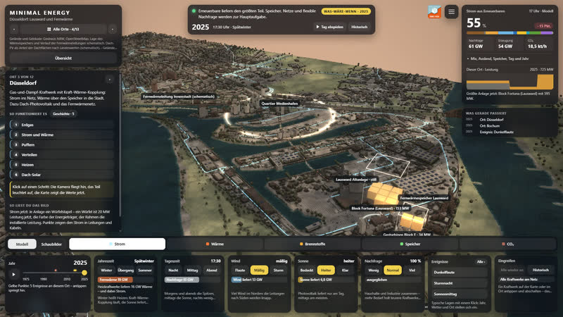
A combined-cycle gas plant on the Rhine as a walkable model: power to the grid, heat via a 58 m storage tank and the district heating line into the media harbour and the city centre.
-
Herdecke
Three generations of storage at Lake Hengstey as a walkable model: the Koepchenwerk of 1930, the pumped-storage plant of 1989 and batteries since 2017 – the level in the reservoir follows sun, wind and demand.
Real are terrain and buildings (LGLN Lower Saxony, OpenStreetMap), cables and pipelines from OpenStreetMap and every wind turbine and biogas plant from the market master data register. Plants dismantled before 2019 are missing there; the mudflats are added by elevation; what is delivered now comes…